
Kerry Trails Map

Click on the image below to access the Kerry Trails Map:
The following link will open the map in a new page (note that this may result in the map not working correctly on Mobile devices).
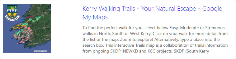
The Kerry Trails Map is an online interactive map for Kerry, which provides essential trail information for anyone looking to explore the county’s numerous walks and trails.
This user-friendly map provides details such as trail location, length, difficulty, duration, GPS coordinates and directions to the trailhead/parking areas etc.
 The map can be saved and downloaded for use off-line using your Google Maps App and offers a 3D flyover view of selected trails to enhance the user experience.
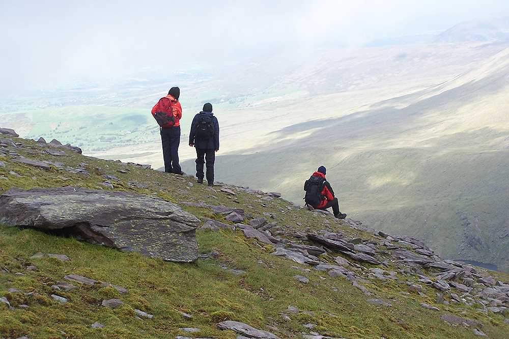
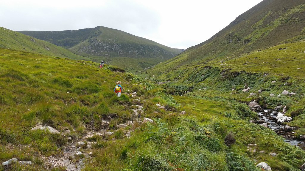
For advice on ensuring a safe and responsible walk or hike in Kerry, please see Sports Ireland’s Walking Safely Guide:
https://www.sportireland.ie/sites/default/files/2019-10/walk-safely-a4-final.pdf
Click on the below link to access the Kerry Trails Map:
https://www.google.com/maps/d/viewer?mid=1xedNR-n7fEoFYHraSVIv9jZtZY8vu3xg&usp=sharing
and follow Kerry County Council on facebook and twitter for regular updates.![]()
The map has been developed in partnership with SKDP (South Kerry Development Partnership) and NEWKD (North East West Kerry Development) and offers over 270 trail options.

It compliments similar trail maps which have been developed by SKDP (South Kerry Development Partnership) and NEWKD (North East West Kerry Development) both of which can be accessed via the following links: